
Flood Management
For the current river level, river level forecasts, and historic data for the Ohio River at Cincinnati, please visit: Ohio River at Cincinnati.
Cincinnati Local Flood Protection Project (Mill Creek Barrier Dam)
SMU maintains and operates the Cincinnati Local Flood Protection Project (LFPP) which consists of the Mill Creek Barrier Dam, 14 floodgates, and a 1.5 mile-long floodwall during high water conditions in the Ohio River.
The LFPP was constructed the U.S. Army Corps of Engineers in 1948 to prevent rising water in the Ohio River from backing up into the Mill Creek and flooding the Mill Creek Valley. The Barrier Dam is located just upstream of where the Mill Creek flows into the Ohio River.
During normal conditions on the Ohio River, the Mill Creek flows into the Ohio River through an opening in the barrier dam. When the Ohio River approaches flood stage (52 feet), the opening is closed off using 14 metal bulkheads weighing 11,000 pounds apiece, put in place by a large crane. Large pumps inside the dam are then used to pump the flow of the Mill Creek through the dam to the Ohio River.
The floodwall extends east from the Barrier Dam for about 1.5 miles along Mehring Way to Linn Street. If needed, up to 14 floodgates can be installed at various street openings in the floodwall to prevent flooding of the valley.
The Barrier Dam is put into service when the Ohio River is predicted to reach flood stage of 52 ft. Normal Ohio River pool elevation is about 26 feet. The Barrier Dam was built to protect against the 1937 flood level of 80 feet.
Barrier Dam Drone Video

Barrier Dam
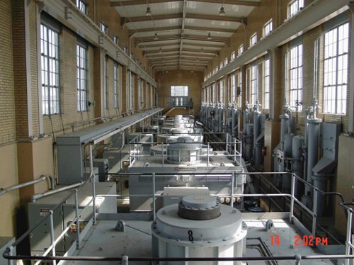
Pumps Inside Barrier Dam
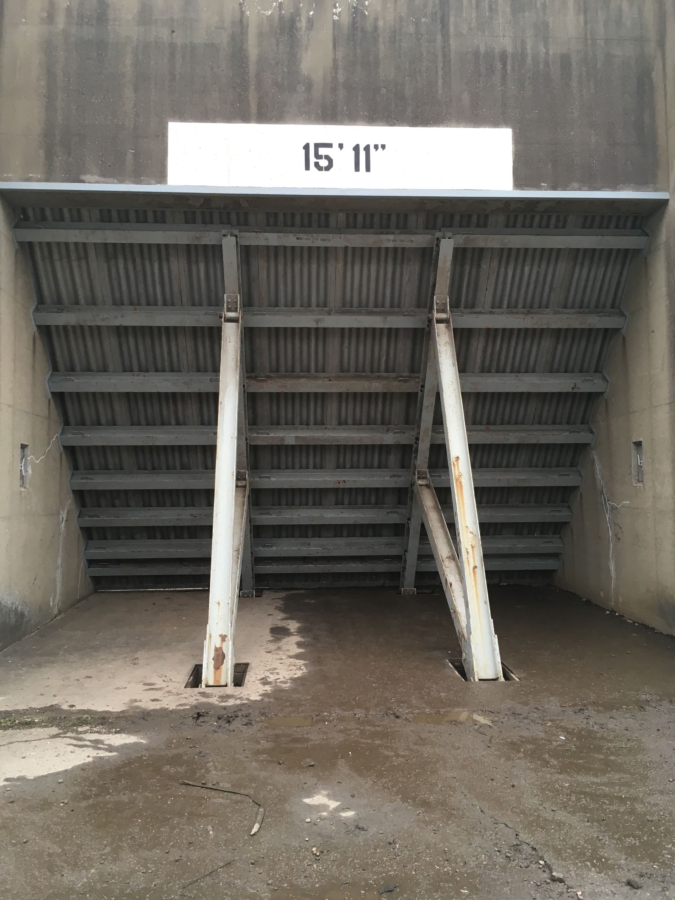
Flood Gate Installed
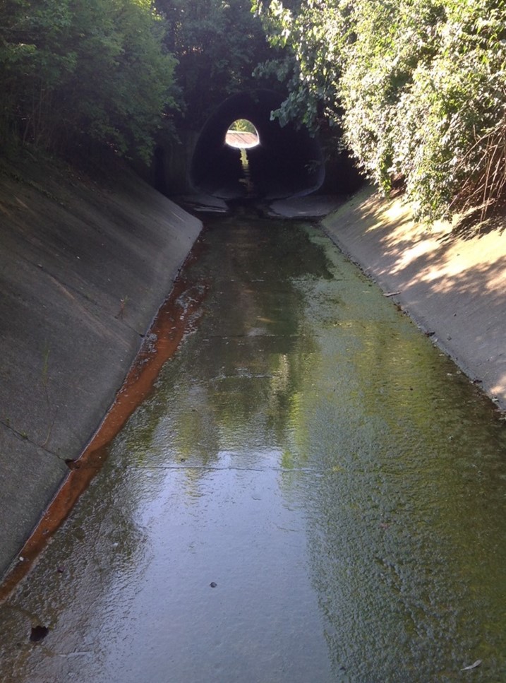
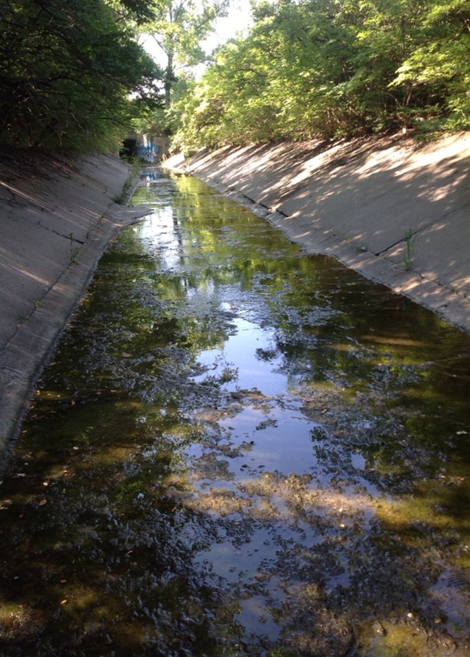
West Fork Channel
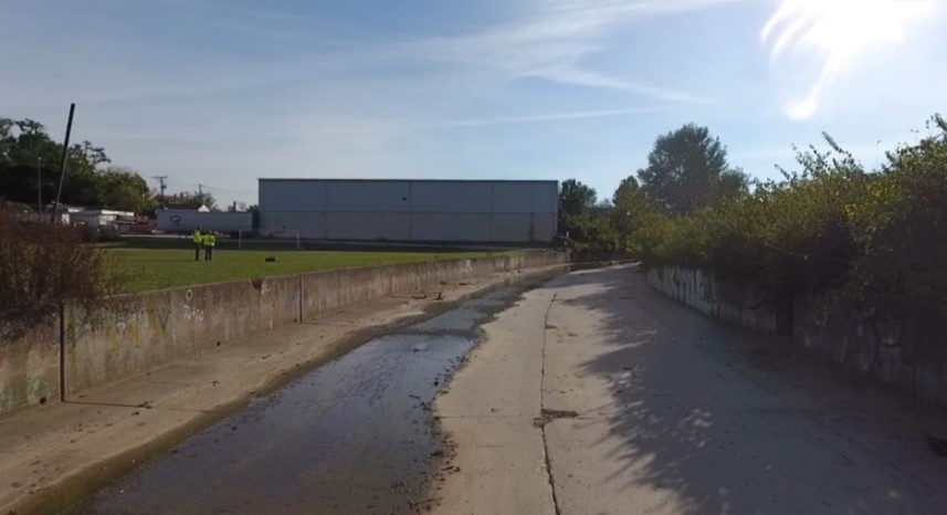
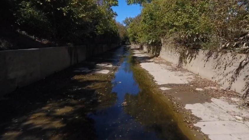
SMU maintains the West Fork Channel flood protection system that traverses Northside and South Cumminsville. In 1930, the natural West Fork Creek was channelized with concrete to contain stormwater flow of approximately 5.5 square miles from the neighborhoods of Mt. Airy, Monfort Heights, and Westwood. The purpose of the channel is to protect the surrounding properties from flooding resulting from heavy rains.
The concrete channel starts near the intersection of West Fork Road and Montana Avenue and continues to where West Fork Creek flows into the Mill Creek. It is approximately 1,200-feet in length and varies between 29-feet wide and 5-feet high at the beginning to 34-feet wide and 6-feet high near the Mill Creek. Below the center of the channel is an 18-inch to 30-inch combined sewer with various inlets to intercept dry weather flow. Over the years the City has performed several improvement projects such as widening portions of the channel, replacing deteriorated concrete, and, in the early 1970s, constructing twin culverts (18-feet wide and 10-feet high) as part of the Ohio Department of Transportation I-74 project.
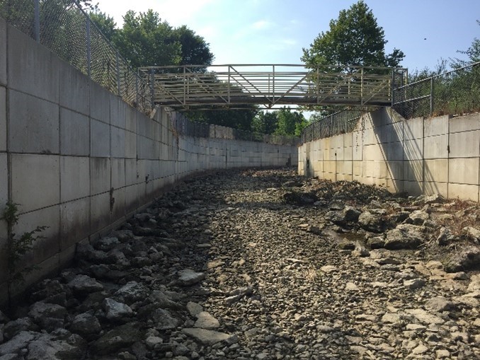
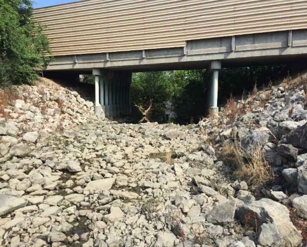
Duck Creek Channel
SMU maintains the Duck Creek Channel (DCC) flood protection system located within the City of Cincinnati. The Duck Creek is located on the eastern side of Cincinnati. It starts near the intersection of Interstate 71 and State Route 562 and continues until it reaches the Little Miami River. Portions of the creek were channelized by the City in the 1950s, while other sections were constructed more recently by the U.S. Army Corps of Engineers as part of the Duck Creek LFPP. The channelized sections are not always contiguous and are collectively referred to as the DCC. The DCC system is also comprised of one pump station and the Madison Road floodgate. The purpose of the DCC is to protect the surrounding communities from flooding resulting from heavy rains.
|
|
|
Amberley Creek Channel
SMU maintains the Amberley Creek Channel located in Roselawn. For many years flooding and erosion problems occurred in the Amberley Creek near the intersection of Stillwell Road and Debonair Court to the point where Amberley Creek flows into the Mill Creek near I-75. To address this matter, the City decided to channelize this section of the creek. The construction on the channel was substantially completed in 1999.
 |
 |
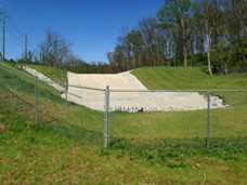
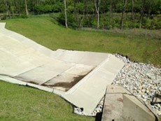
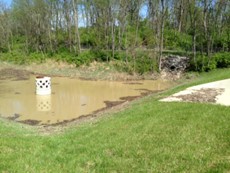
Guerley Road Dam
SMU maintains the Guerley Road Dam. For many years flooding occurred on Guerley Road in West Price Hill. In 2014, the City, in cooperation with the Ohio Department of Natural Resources, constructed this earthen dam and detention infrastructure to reduce said flooding. The Dam retains runoff within a natural ravine and allows it to be gradually released into stormwater infrastructure on Guerley Road. The watershed draining to the structure is approximately 240 acres.
 |
 |
 |