
Exploring the Canals of Cincinnati
- Jul 23, 2024
Close your eyes and imagine yourself in Cincinnati during the early 1800s. Life was much different then. Transportation was slow, cities weren't connected like they are now, and it was expensive to buy goods from farther away places. Leaders noticed these challenges and brainstormed ways to combat them. In 1815, Cincinnati transplant Daniel Drake proposed in his book, A Picture of Cincinnati, a canal system that would connect northern Ohio to Southern Ohio. Daniel Drake was a doctor, advocate and pioneer of his time, but his plan wouldn't come to fruition until 1825. Once it was decided to build the canals, his proposal closely matched the route ultimately selected.
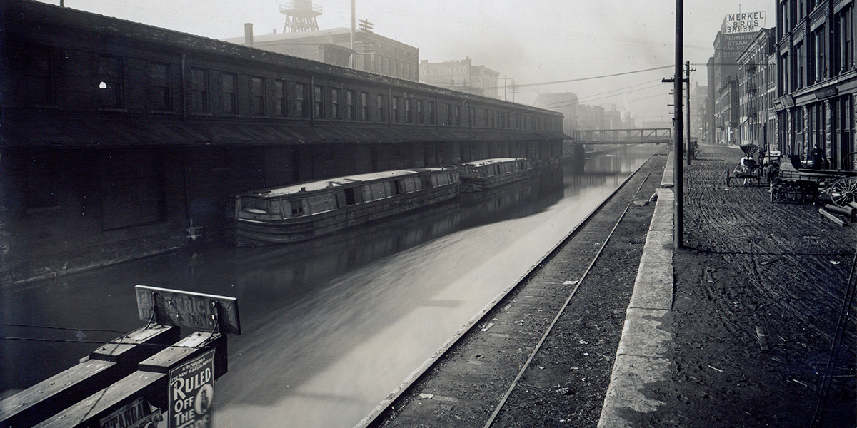
The canals constructed within Ohio included the Ohio and Erie Canal, which ran between Cleveland and Portsmouth, and the Miami and Erie Canal, which ran between Toledo and Cincinnati. The Miami and Erie Canal extended 274 miles and was completed in 1845. The stretch between Cincinnati and Dayton opened in 1828, and by 1832, 1,000 people a week were traveling between the cities. Along the route, the canal crossed 19 aqueducts and employed 106 locks. (Cincinnati Magazine).
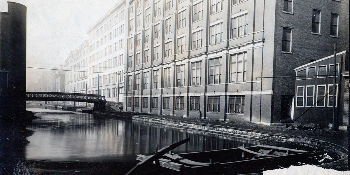
When traveling southbound toward Cincinnati, passengers traveled through St. Bernard, Clifton, Camp Washington and into Downtown Cincinnati. "Canal boats cruised past Music Hall as they approached the same bend at Plum Street still visible today on Central Parkway." (Cincinnati Public Library). Archived photos at Bettman Natural Resource Center, the official home of Cincinnati Parks' archives/library, show the canal that ran through Central Parkway, which was later turned into a Cincinnati Park and is now a major roadway.
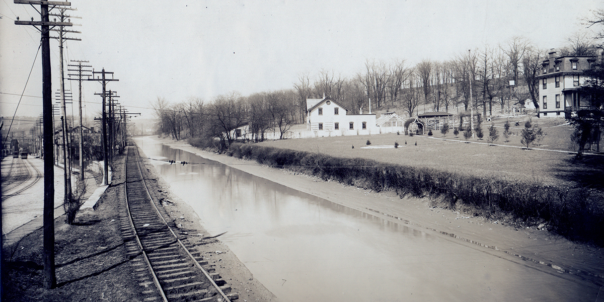
That wasn't the only area of the canal that ran through what is now a Cincinnati Park. The last stretch of the canal followed where Eggleston Avenue is now, which leads to Sawyer Point along the Ohio River. "The difference in elevation required 10 locks to deliver packets to the Ohio River below. Most journeys terminated at the Lockport Basin due to the inconvenience of passing through the locks, so this section fell out of use after 1863." (Cincinnati Public Library).
Ultimately, the canal was abandoned in 1913 after the flood. The Miami Erie canal was replaced by our Central Parkway after it fell out of service.
Although the canals no longer exist, they helped shape our city and provided a great form of transportation across Ohio. Next time you pass through Central Parkway or Eggleston Avenue heading toward Sawyer Point, you can think of those that came before us cruising down the canals to make a living and create a prosperous society.
Sources: